Oakland ESPM 50ACGreen is not neutralWho pays for “livability”?Parks · Capital · DisplacementCommunity land, not amenity zones
Oakland ESPM 50ACGreen is not neutralWho pays for “livability”?Parks · Capital · DisplacementCommunity land, not amenity zones
ESPM 50AC · UC Berkeley
Parks, gentrification, and justice in Oakland
New parks and green upgrades get framed as obvious wins. In parts of Oakland that were starved for investment for decades, those same projects also
show up next to rising rents, house flipping, and moving costs that fall on renters first. I built this site to connect that pattern to history
(who got dumped on, who got credit) and to the policy fights happening now.
Student research site · The Green Divide
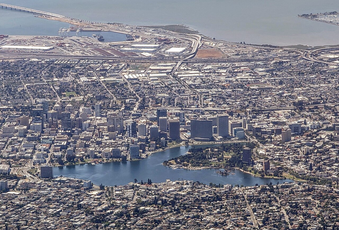
Lake Merritt sits east of downtown; public investment here is visible from space. Photo: Dicklyon, CC BY-SA 4.0, via Wikimedia Commons.
I am not trying to say trees are bad. Heat and flooding are real, and working-class neighborhoods often get both the pollution and the heat. The
question is what happens around a project after the ribbon gets cut: who can stay, who gets harassed out, and who gets to speak in planning
meetings when the city wants a “green” headline.
The pages below move from big-picture neighborhood history, to specific park projects after 2000, to rent pressure and data limits, to organizing
that pushes for green space and stability. The argument stacks most clearly if neighborhood histories come before the case studies.
Oakland in plain sight
The argument is about place, not abstractions. These photographs situate the flatlands, downtown, the estuary, and the regional bridges that move
people and money through the East Bay.
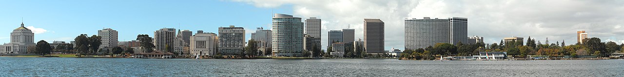
Skyline and lake from the shoreline. Daniel Ramirez, CC BY 2.0, Wikimedia Commons.
West Oakland rooftops and blocks near the freeway corridor. Clyde Charles, CC BY-SA 4.0, Wikimedia Commons.
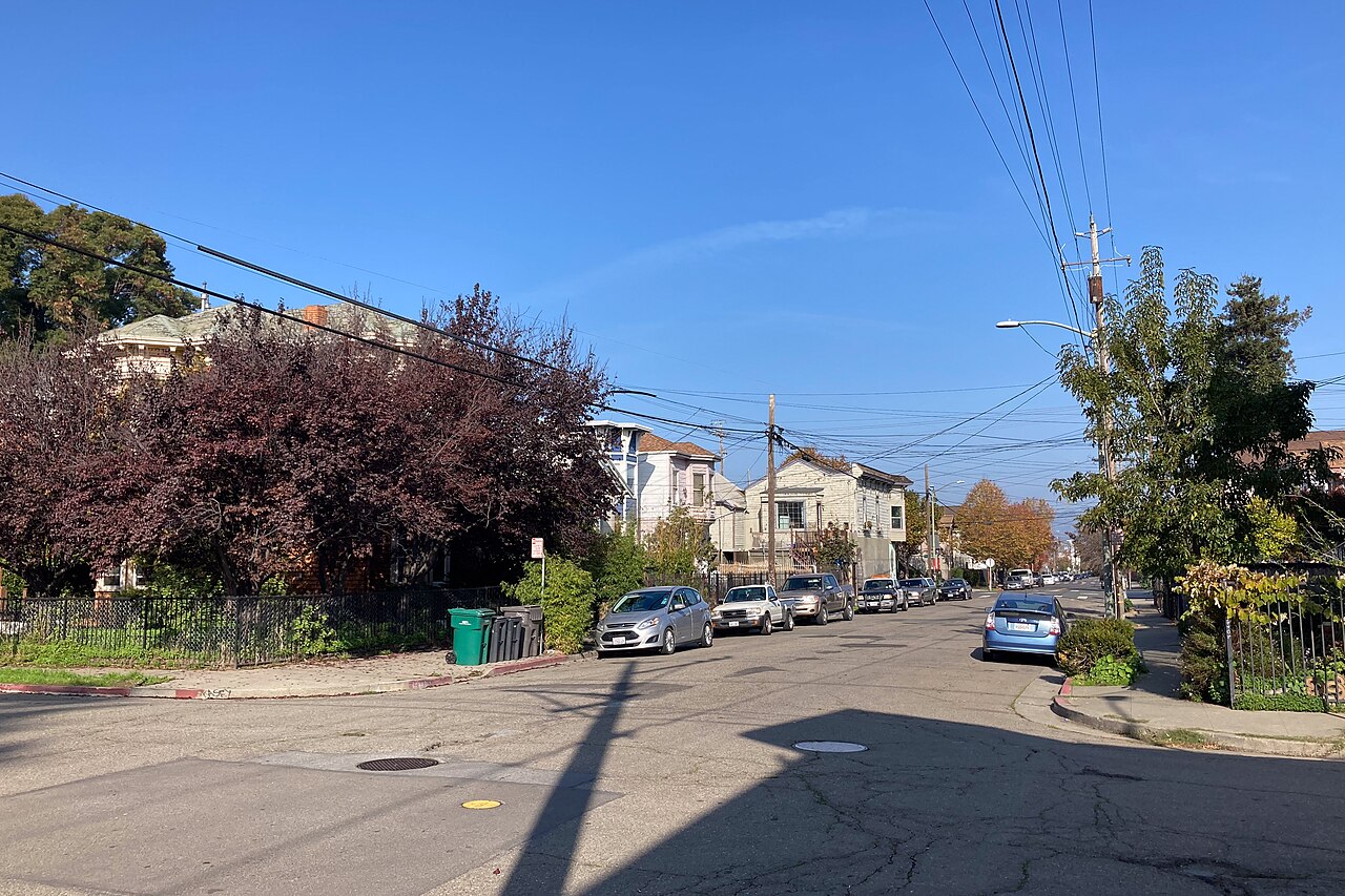
Fruitvale streetscape. Kai Schreiber, CC BY-SA 2.0, Wikimedia Commons.
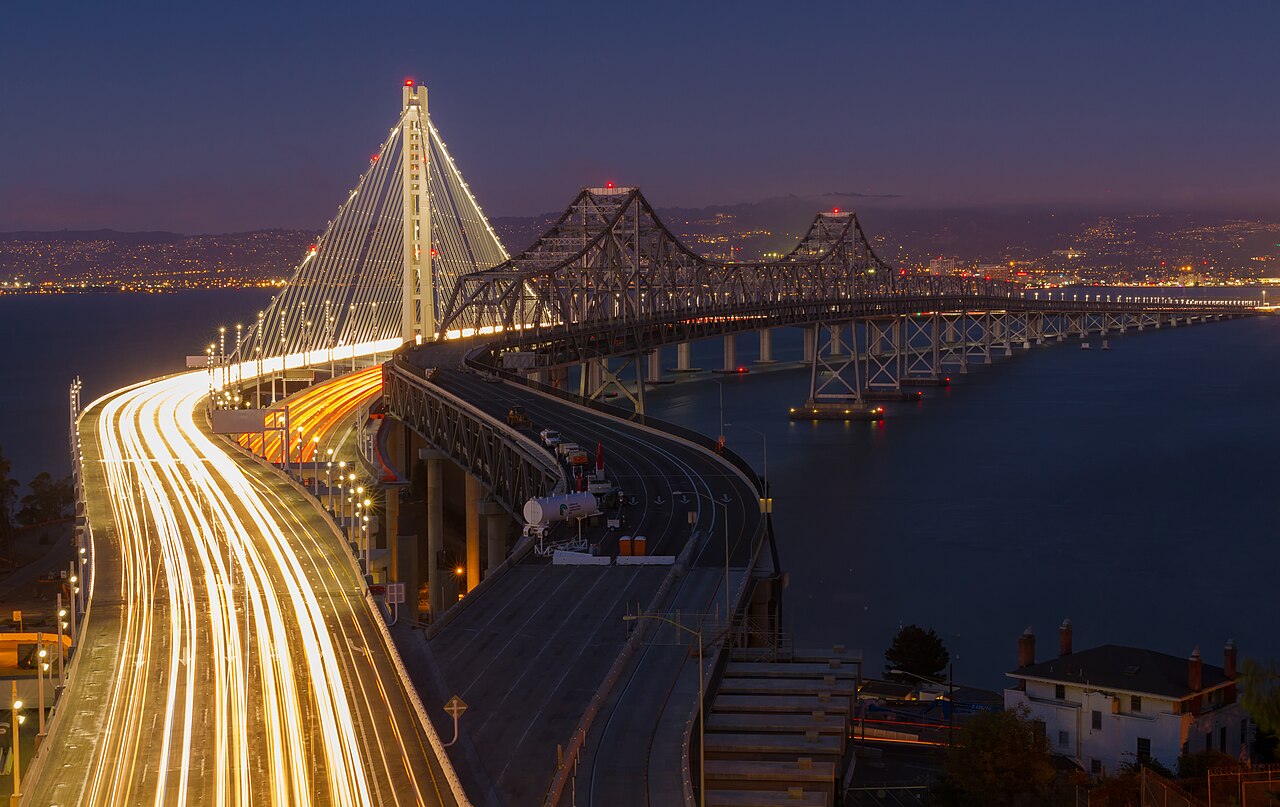
Old and new spans of the Bay Bridge. Frank Schulenburg, CC BY-SA 3.0, Wikimedia Commons.
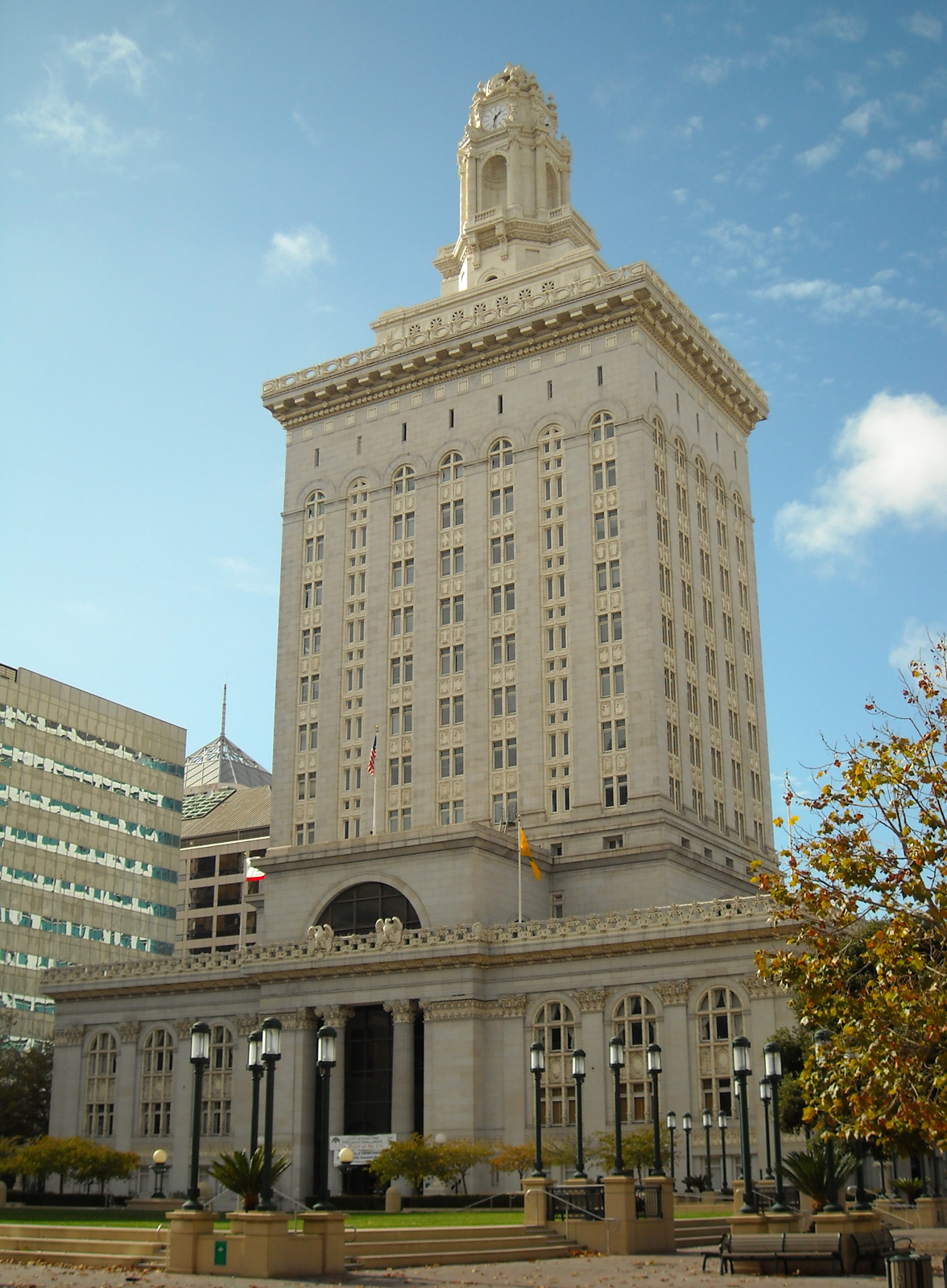
City Hall and downtown built form. Daniel Ramirez, CC BY 2.0, Wikimedia Commons.
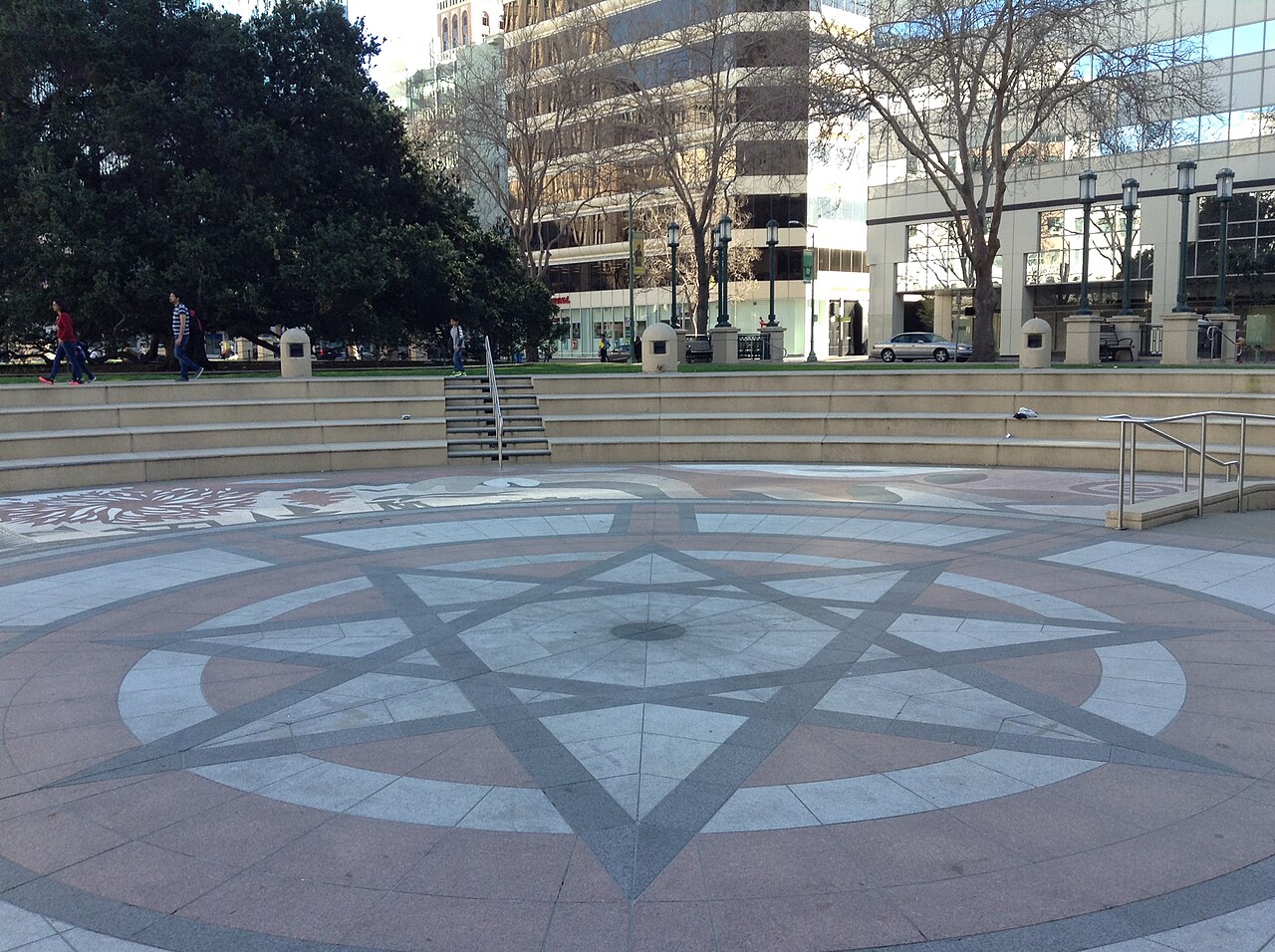
Frank H. Ogawa Plaza at the civic center. Kiddo27, CC BY-SA 4.0, Wikimedia Commons.
Histories
Neighborhoods
Redlining maps, freeways, and uneven park access in the flatlands. I use this section to set up why “green” investment lands in places that were
cheap because they were harmed, not because planners suddenly got generous.
Lake Merritt, the Fruitvale corridor, and Joaquin Miller Park as three different stories about money, access, and who the park is imagined for.
I pull language from city plans where I can and mark where the record is thin.
Median rent, investor buyers, evictions: what the numbers can and cannot prove about a park opening down the block. I spend time on methods
because easy charts lie when the sample is small.
Tenant protections, land trusts, and campaigns that treat housing and the environment as one fight. Wins are partial a lot of the time, which
matters for how I write about them.