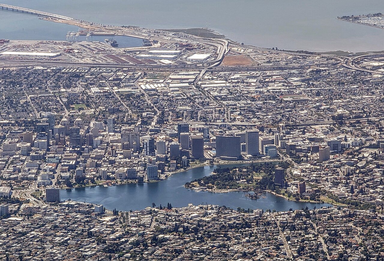
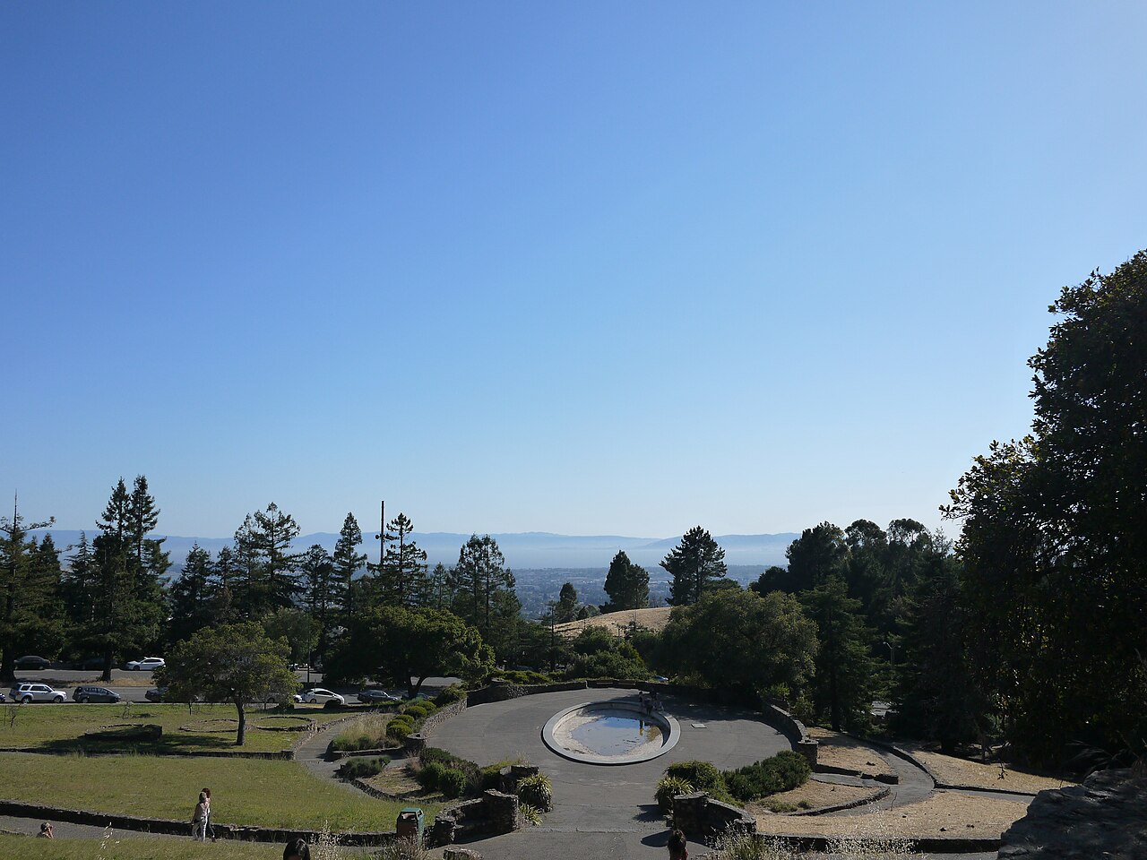
Lake Merritt and the channel
Measure DD (November 2002) was a $198.25 million general obligation bond for Lake Merritt, creeks, and the waterfront, commonly reported at about 80% voter approval. Bond text (Appendix A) and coalition history appear through Waterfront Action (Measure DD) and city archives. A later parcel tax, Measure Q (March 2020), added ongoing revenue split partly toward parks and landscape maintenance. Implementation unfolded over years, not in a single ribbon cut.
A flagship piece is the 12th Street / channel work: narrower roadway cross-section, new park space on the south shore, and better connection toward Laney and the estuary. Public timelines often cite ground-breaking May 6, 2010 and completion June 2013, including channel, trail, and tidal marsh elements that increased water exchange with the estuary. The lake is a rare urban estuary edge, and the project language usually emphasizes ecology, public access, and reconnecting the water. That is real public benefit for heat and habitat, whatever the housing market does next door.
The tension shows up in who feels welcome at the shoreline after upgrades, and in how nearby housing markets respond when “lake proximity” becomes a selling point. Downtown and Adams Point were already under pressure from regional housing demand. Big visible public investment can speed up attention from buyers and landlords even when the city’s intent is environmental. I read staff reports for DD work to see how they talk about “the public,” and most of the time it is a general public, not a map of renter protections.
Planning language I noticed
Documents often pair ecological goals (tidal action, water quality) with recreation and “world-class” language. That combo is standard in bay cities, but it also travels straight into marketing for upscale housing. I am not saying the engineers planned it that way on purpose. I am saying the housing market reads the headline too.
Fruitvale, BART, and the street grid
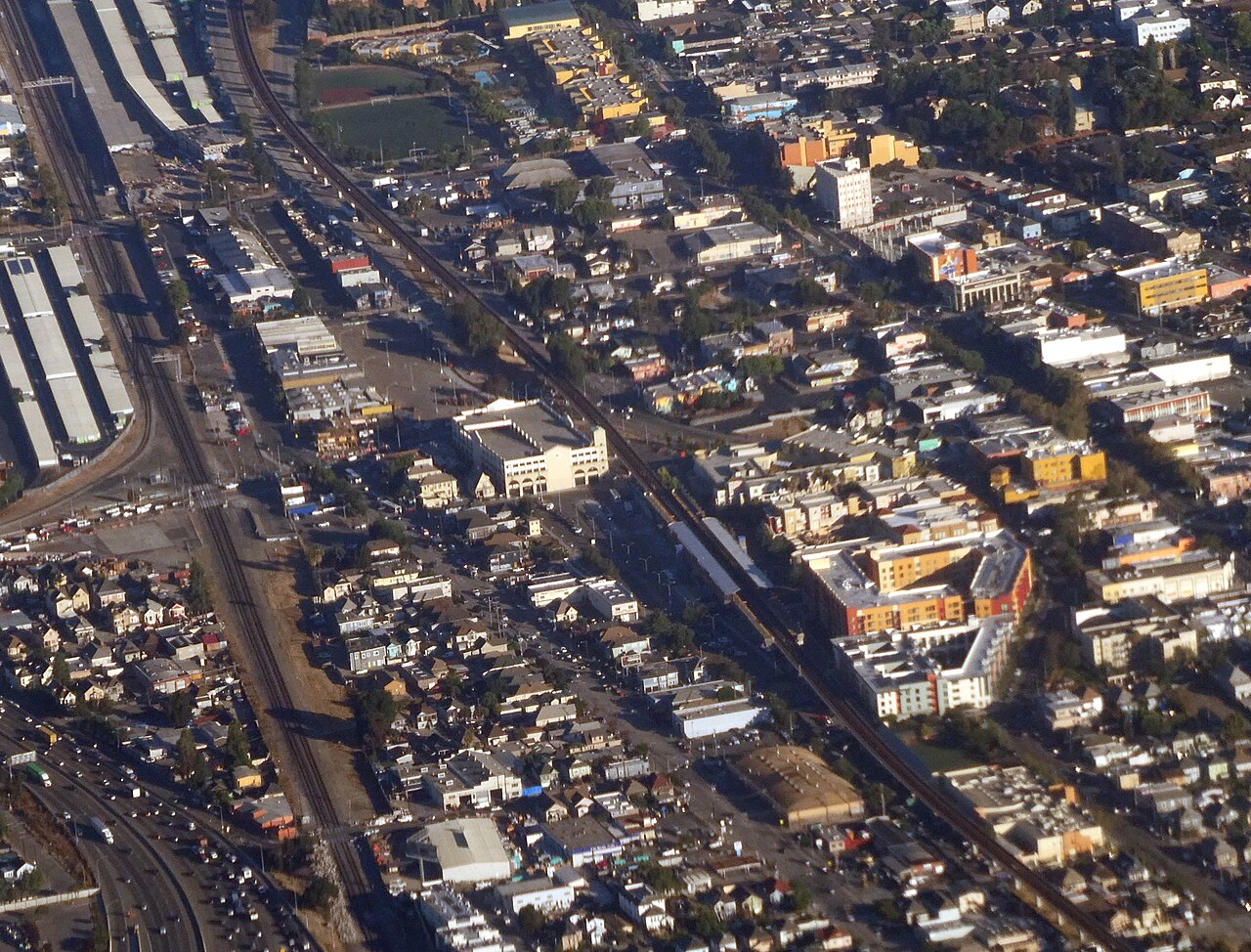
The Fruitvale Transit Village is the usual textbook photo for equitable transit-oriented development: the Unity Council (founded 1964) helped block BART’s 1991 multi-story parking-garage plan that would have walled off International Boulevard from the station, then leveraged city CDBG funds, UC Berkeley planning support, and an FTA planning grant (on the order of hundreds of thousands of dollars) toward community workshops. Phase I opened in 2004 with about 47 homes, retail, La Clínica de la Raza, a charter high school, library branch, senior center, and structured parking. Phase II added a 94-unit building (2019) and a 181-unit building with retail (2024). Federal case studies (FTA) praise the model and also ask whether it replicates without the same decade-plus organizing, subsidies, and community development corporation capacity.
The district sits on serious transit access and a dense mix of small businesses and renters. Planning efforts over the last twenty years have tried to stitch together safer walking routes, plaza space, and connections between International Boulevard, the BART station, and neighborhood institutions. When I walk through, the “green” pieces show up as street trees, medians, pocket spaces, and the social life of the sidewalk as much as a single fenced park.
That matters for this project because green gentrification research sometimes focuses on a named park boundary, while a lot of everyday “greening” is corridor work. Corridor work can raise commercial rents and change who can afford storefront leases. It can also make walking safer for elders and kids if it is done with outreach and anti-displacement tools. I am trying to hold both outcomes in the same sentence because that is what residents describe: better blocks, scarier leases.
If the city celebrates Fruitvale as a model district, renters still need to know whether celebration comes with enforcement against harassment and real money for community ownership.
Joaquin Miller Park and the hills
Joaquin Miller is a big second-growth redwood and oak park in the Oakland hills. It is not the same story as a flatlands neighborhood fighting diesel trucks, but it still matters for how Oakland imagines nature. Access skews toward people who can reach the hills by car or time; wildfire risk and insurance politics also shape who feels “allowed” to treat the forest as backyard. I use it as a contrast case to Lake Merritt and Fruitvale: green space in Oakland is not one geography or one politics.
Trails, fire risk, and maintenance budgets sit next to wealthier hillside homeowners and different political leverage than deep East Oakland gets.
I include it because “green space” in Oakland is not one thing. Some residents drive to a trailhead on the weekend while others fight for a half-block of turf next to a freeway on-ramp. Comparing access across those geographies is part of environmental justice work, not a distraction from it. If public dollars subsidize views and recreation for people who already have options, that should show up in the same paper as flatlands investment gaps.
Maps and scale
Embedded maps keyed to each site boundary and neighboring census tracts would strengthen this section; Oakland open data and planning PDFs are the usual starting points, with date stamps on each document because the city updates files and links change.
Comparing ribbon cuts with eviction filings in the same ZIP code is tricky: ZIP codes cover large areas in Oakland, and a park edge can sit between two different housing markets. See After they built it for rent data and geography cautions.